This webpage does not support Internet Explorer anymore. We recommend changing browser, to increase your online safety.
Read more on Microsoft's webpages
On this page we have collected data and information that is intended as a starting point for assessing how the municipality is affected by climate risk. Scroll down to see how greenhouse gas emissions, climate change, investments and business structure may affect the climate risk Nordre Follo is exposed to.
Climate risk for industries essential to Nordre Follo
6.8%
Retail trade
Measures to reduce car traffic can affect the location of shopping malls. The transition to a circular economy and increased recycling can affect consumer behaviour.
2.3%
Land and pipeline transport
An increase in extreme weather can lead to an increase in wear and tear, the extent of damage to transport infrastructure and traffic disruptions. Tolls, road pricing and zero-emission zones can affect profitability.
1.6%
Warehousing and support activities for transportation
Extreme weather can lead to increased wear and tear, more serious damages, and more traffic disruptions. Measures to reduce emissions in the transport sector can be expected.
Tap a category to display graphs for that category
Greenhouse gas emissions in the municipality
101,412tonnes of CO2eq
Change in the previous year
0.7%
Emissions per citizen
1.6tonnes of CO2eq
Data retrieved
The chart shows emissions within the municipality`s geographical area. It is based on the same principles and sectorial classifications as the national accounts, which again are based on the IPCC standard."
data-external-source=""
data-external-source-text=""
data-footer-text="
The chart shows emissions within the municipality`s geographical area. It is based on the same principles and sectorial classifications as the national accounts, which again are based on the IPCC standard.
"
data-last-update="Data retrieved 5/22/2024">
Emissions of greenhouse gases drive climate change. Without reducing emissions, we will not be able to slow down climate change and thus minimize the physical climate risk that results from climate change.
The transition to a low-emission society requires a sharp reduction in greenhouse gas emissions, also in Norway. We will likely experience more taxes, carbon pricing and bans on high-emitting technologies. This represent transitional risk for the municipalities. New regulations can affect the municipality's own emissions and thus impose costs on the municipality. Carbon-intensive businesses that are important to the municipality may experience that demand, revenues and company value are affected. You can read more about how the local business community can be exposed to climate risk under the tab «business».
The extent to which a municipality controls the emissions in its area varies. For example, it will be easier to influence emissions from industry and own activities (through instruments such as permits and tenders) than emissions from large thoroughfares such as the E6. This is also reflected in the risk: Large emission sources over which the municipality har little influence usually do not represent great climate risk for the municipality.
Industrial emissions in Nordre Follo
Some firms are required to report indicators to the Norwegian Environment Agency, because the firm is associated with large emissions and/or a large environmental risk. Reported indicators include annual emissions, production volume, consumption of energy, and amounts of waste and hazardous waste produced.
The table shows emissions from businesses obliged to report in Nordre Follo for the year of 2022.
The emissions are included in the municipality's overall emission accounts.
Note that only emissions from activities defined as industry are shown in the table. Emissions from offshore operations, sewage treatment plants and landfills are therefore not shown here.
Large emissions from land-based industry are considered to be a relevant proxy for transition risk. This is because it's likely that high-emitting businesses will be required to reduce their emissions in the future, and that some will face a decrease in demand for their products.
If these businesses also employ a large proportion of the local workforce, the risk is amplified as the local community may experience the loss of many jobs at the same time (a "cornerstone effect"). This can have dramatic effects on budgets as tax revenue is reduced.
The greenhouse gas accounts include emissions from three different greenhouse gases. To compare the global warming potential (GWP) of these, tonnes of CO2 equivalents is used as the common unit of measurement. Carbon dioxide (CO2) has GWP = 1, nitrous oxide (N2O) has GWP = 298 and methane (CH4) has GWP = 25. The factors are taken from the IPCC's fourth main report, and are the same as used in the national emission accounts and in international reporting. Source: the methodology note accompying the Norwegian Environment Agency's municipality distributed emission statistics (in Norwegian).
Assessment of risk and vulnerability: Is the municipality prepared?
Updated RVA
Nordre Follo municipality's complete Risk and Vulnerability Analysis(RVA) is from 2022.
The municipalities are obligated to have a holistic risk and vulnerability assessment (RVA). This serves as the municipality's management document for managing risk and should address natural events and climate risk. The Norwegian Directorate for Civil Protection (DSB) recommends updating it every four years in connection with the update of the plan strategy.
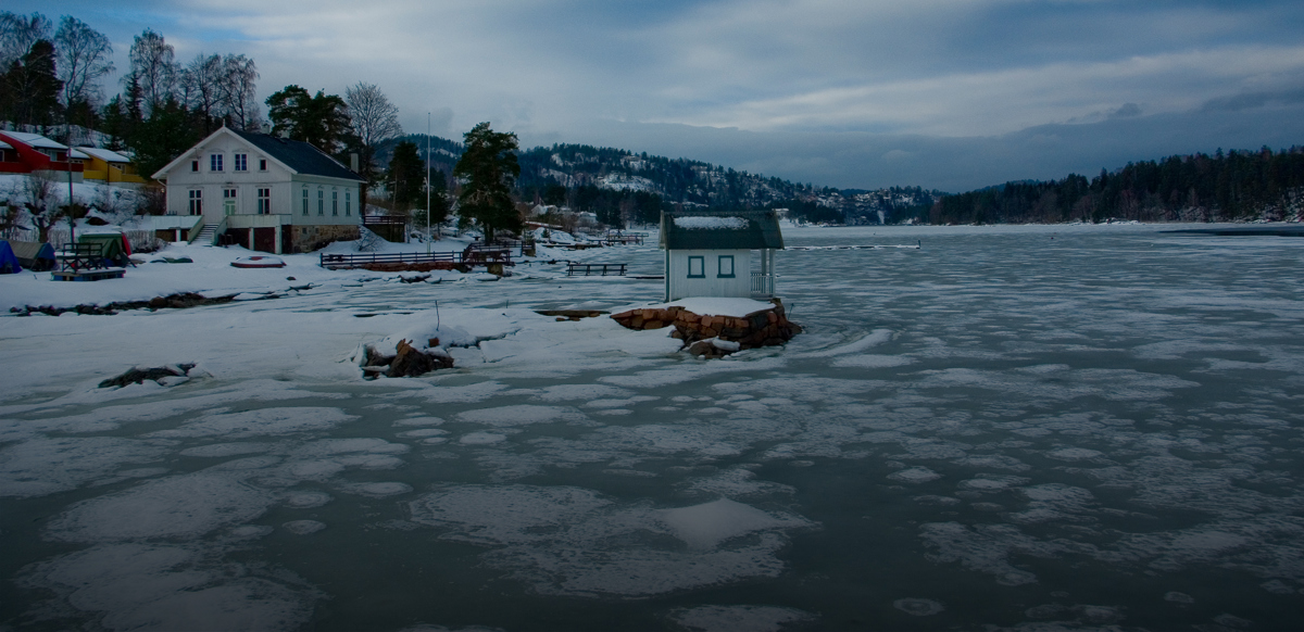
For coastal municipalities, sea level rise can be a source of climate risk. The overview shows the estimated sea level rise in the year 2090 as well as the extent of buildings, roads and area that may be flooded at medium tides in 2090 given these levels.
Estimated sea level rise per 2090
Sea level rise in 2090
48cm
Flooded areas at medium tides in 2090
Buildings
13pcs
Roads
0km
Area
0km2
Storm surge today and in 2090
Flooded areas at 200-year storm surge now
Buildings
30pcs
Roads
0.1km
Area
0.1km2
Flooded areas at 200-year storm surge in 2090
Buildings
41pcs
Roads
0.3km
Area
0.1km2
For future sea level rise, the upper bounds of scenario RCP 8.5 is applied. This is a scenario developed in the context of the IPCCs fifth assessment report, and represents a scenario with high emissions, without effective policies to reduce emissions. This is the scenario used by the Norwegian Mapping Authority and recommended for planning by the Norwegian Directorate for Civil Protection (DSB).
Data retrieved
For coastal municipalities, sea level rise can be a source of climate risk.
Roads, buildings and infrastructure can be flooded, especially during high tides or storm surges. This can lead to a reduction in the value of privately and municipality owned buldings, as well as an increase in the cost of carrying out maintenance. Insurance premiums in vulnerable areas may also increase. Liability risk can manifest in recourse claims against a municipality that against better knowledge allows development in areas that are vulnerable to sea level rise.
At this time, we do not have any data for Future climate
At this time, we have some problem viewing data
Projects financed with KBN's green loans
KBN offers green loans with reduced interest rates to municipal sector projects with clear climate- and environmental ambitions. These loans are financed with green bonds.
Number of green projects:
0
Total debt green loans:
0 billion
Emissions annually avoided + reduced from projects:
N/A
KBN offers green loans with reduced interest rates to municipal sector projects with clear climate- and environmental ambitions. These loans are financed with green bonds.
Municipal investments are long-term; construction and infrastructure are built to last for several decades. This means that what we build today should withstand the transition into a zero-emission society, especially if we reach the 2050 goals. In the same period the climate will probably toughen and the requirements for e.g. energy efficiency is likely to be tightened. Requirements and expectations towards the transport sector will likely also change. If physical climate risk is not taken into account in planning stages, damage caused by e.g. floods can become a costly affair. Choosing the cheapest solutions today can imply risking having to make unforeseen investments to meet future requirements.
KBN provides green loans with discounted interest rates for climate- and environment-friendly investments that we believe are compatible with a 2050 society, and which can help reduce the municipality's climate risk.
Climate risk for industries essential to Nordre Follo
We have listed the industries that employ the most people in the municipality and that we believe may be affected by climate risk. The questions in the table are intended as a starting point for dialogue with the local business community. We have tried to indicate the degree of severity at an overall level but recommend that you make a separate assessment based on the local context.
Risk with very high severity
Risk with high severity
Risk with medium severity
Physical risk
Risk
Consequences
None
Apart from those resulting from the location of production facilities, there are no obvious physical risk factors for this industry.
Transitional risk
Risk
Consequences
Risk with high severity
Measures to reduce car traffic
What do measures to reduce car traffic, e.g. relocating junctions or toll booths, mean for the location of shopping centres?
Risk with high severity
The transition to the circular economy
What does the transition to the circular economy and the increase in recycling mean for the retail sector?
Risk with very high severity
Risk with high severity
Risk with medium severity
Physical risk
Risk
Consequences
Risk with medium severity
Extreme weather (damage and adaptation)
What does an increase in extreme weather, particularly more precipitation, more intense precipitation, more floods and more surface runoff, changes to freeze-thaw cycles or more landslides, mean in terms of the wear and tear and scope of the damage sustained by transport infrastructure, and in terms of disruption to traffic?
Transitional risk
Risk
Consequences
Risk with very high severity
Transition to zero-emissions in the transport sector
What do toll stations, zero-emission zones and road user charges mean for the transportation of goods and persons using fossil-fuel-powered motor vehicles? What would be the impact of customers of transport services, e.g. road-based goods transportation, increasingly demanding solutions that generate lower emissions?
Risk with very high severity
Risk with high severity
Risk with medium severity
Physical risk
Risk
Consequences
Risk with medium severity
Extreme weather (damage and adaptation)
What does an increase in extreme weather, particularly more precipitation, more intense precipitation, more floods, more surface runoff, changes to freeze-thaw cycles or more landslides, mean in terms of the wear and tear and scope of the damage sustained by transport infrastructure, and in terms of disruption to traffic?
Transitional risk
Risk
Consequences
Risk with very high severity
Carbon pricing
What would be the impact of an increase in the duties charged on fossil fuels or greenhouse gas emissions ?
Risk with very high severity
The transition to zero-emissions in the transport sector
What will be the impact of licensing bodies and customers increasingly demanding low-emission solutions? What does the transition to electric or hydrogen-powered motor vehicles mean for the operation of car parks or bus stations?
Risk with very high severity
Risk with high severity
Risk with medium severity
Physical risk
Risk
Consequences
Risk with high severity
Extreme weather (damage and adaptation) /changes to weather patterns
What will an increase in extreme weather, such as droughts or extreme precipitation, and changes to weather patterns mean in terms of access to raw materials and the manufacturing of food products?
Risk with high severity
Climate risk in other countries
What would climate risk in other countries mean in terms of access to imported raw materials?
Transitional risk
Risk
Consequences
Risk with high severity
Changes to consumer behaviour
What would be the impact of consumers increasingly demanding information on the carbon footprint of food products? What would be the impact of consumer behaviour changing in favour of food products with a smaller carbon footprint?
Risk with very high severity
Risk with high severity
Risk with medium severity
Physical risk
Risk
Consequences
Risk with high severity
Extreme weather (damage and adaptation)
What does an increase in extreme weather, particularly in extreme precipitation, storms, surface runoff and floods, mean for civil engineering, e.g. with regard to damage and drainage?
Transitional risk
Risk
Consequences
Risk with high severity
Transition to fossil-fuel-free civil engineering
What would be the impact of public sector tender competitions or private project owners stipulating that building sites must be fossil-fuel-free and/or that greenhouse gas emissions from construction phases must be reported?
The sample is based on Statistics Norway's statistics on employment by place of residence (table 08536). You can learn more about how we have selected the industries in the methodology note.
Tax revenues from inhabitants make an important contribution to the municipality's budget. Therefore, the municipalities are dependent on the business community being affected as little as possible by climate change (physical climate risk) and at the same time succeeding in the transition to a low-emission society (transition risk), so that employment is upheld.
At this time, we do not have any data for [blockname]