This webpage does not support Internet Explorer anymore. We recommend changing browser, to increase your online safety.
Read more on Microsoft's webpages
On this page we have collected data and information that is intended as a starting point for assessing how the county is affected by climate risk. Scroll down to see how greenhouse gas emissions, climate change, investments and business structure may affect the climate risk Akershus is exposed to.
Tap a category to display graphs for that category
Emissions within the county
2,001,973tonnes of CO2eq
Change in the previous year
4.1%
Emissions per citizen
2.7tonnes of CO2eq
Data retrieved
Emission of greenhouse gases drives climate change. Without reducing emissions, we will not be able to slow down climate change and thus minimize the physical climate risk that results from climate change.
The transition to a low-emission society requires a sharp reduction in greenhouse gas emissions, also in Norway. We will likely experience more taxes, carbon pricing and bans on high-emitting technologies. This represent transitional risk for municipalities and counties. The local authority's own emissions may fall under the scope of new regulation and thus impose costs on the municipality or county. Carbon-intensive businesses that are important to the local community may experience that demand, revenues and company value are affected, which again may affect tax revenues. You can read more about how the local business community can be exposed to climate risk under the tab «business».
The extent to which a municipality or county controls the emissions in its area varies. For example, it will be easier to influence emissions from industry and own activities (through instruments such as permits and tenders) than emissions from large thoroughfares such as the E6. This is also reflected in the risk: Large emission sources over which the municipality has little influence usually do not represent great climate risk for the municipality.
Industrial emissions in Akershus
Some firms are required to report indicators to the Norwegian Environment Agency, because the firm is associated with large emissions and/or a large environmental risk. Reported indicators include annual emissions, production volume, consumption of energy, and amounts of waste and hazardous waste produced.
The table shows emissions from businesses obliged to report in Akershus for the year of 2022.
The emissions are included in the county's overall emission accounts.
Note that only emissions from activities defined as industry are shown in the table. Emissions from offshore operations, sewage treatment plants and landfills are therefore not shown here.
Data retrieved
Large emissions from land-based industry are considered to be a relevant proxy for transition risk. This is because it's likely that high-emitting businesses will be required to reduce their emissions in the future, and that some will face a decrease in demand for their products.
If these businesses also employ a large proportion of the local workforce, the risk is amplified as the local community may experience the loss of many jobs at the same time (a "cornerstone effect"). This can have dramatic effects on budgets as tax revenue is reduced.
The greenhouse gas accounts include emissions from three different greenhouse gases. To compare the global warming potential (GWP) of these, tonnes of CO2 equivalents is used as the common unit of measurement. Carbon dioxide (CO2) has GWP = 1, nitrous oxide (N2O) has GWP = 298 and methane (CH4) has GWP = 25. The factors are taken from the IPCC's fourth main report, and are the same as used in the national emission accounts and in international reporting. Source: the methodology note accompying the Norwegian Environment Agency's municipality distributed emission statistics (in Norwegian).
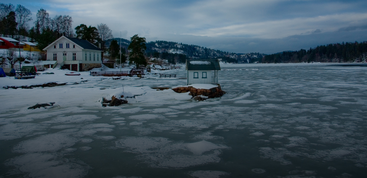
Sea level rise and storm surge in Akershus
For coastal communities, sea level rise can be a source of climate risk. This section shows the extent of buildings, roads and areas in the county that may be flooded in 2090, and which are vulnerable to storm surges today and in 2090, respectively.
For future sea level rise, the upper bounds of scenario RCP 8.5 is applied. This is a scenario developed in the context of the IPCCs fifth assessment report, and represents a scenario with high emissions, without effective policies to reduce emissions. This is the scenario used by the Norwegian Mapping Authority and recommended for planning by the Norwegian Directorate for Civil Protection (DSB).
Estimated sea level rise per 2090
Sea level rise: Least in county
47cm
Sea level rise: Largest in county
52cm
Flooded areas at medium tides in 2090
Buildings
496pcs
Roads
2.7km
Area
1.3km2
Storm surge today and in 2090
Flooded areas at 200-year storm surge now
Buildings
1,572pcs
Roads
13.6km
Area
4.6km2
Flooded areas at 200-year storm surge in 2090
Buildings
2,080pcs
Roads
22.1km
Area
5.7km2
The figures are aggregated numbers for coastal municipalities in Akershus.
Data retrieved
For coastal municipalities, sea level rise can be a source of climate risk.
Roads, buildings and infrastructure can be flooded, especially during high tides or storm surges. This can lead to a reduction in the value of privately and publicly owned buildings, as well as an increase in the cost of carrying out maintenance. Insurance premiums in vulnerable areas may also increase. Liability risk can manifest in recourse claims against a municipality that against better knowledge allows development in areas that are vulnerable to sea level rise.
Green projects in municipalities in Akershus
The list shows projects financed with KBNs green loans. From the drop-down menu you can toggle between the county's own projects and projects initiated by municipalities within Akershus.
Number of green projects:
0
Total debt green loans:
0 billion
Emissions annually avoided + reduced from projects:
N/A
KBN offers green loans with reduced interest rates to projects with clear climate- and environmental ambitions. These loans are financed with green bonds.